
My TOP 5 HIKES, Sao Miguel The Azores.
My TOP 5 HIKES, Sao Miguel The Azores.
What a country to get to hike in. I’ve hiked all over from Yosemite to the Dolomites and this didn’t fail to impress. The hiking here is moderate, with the highest peak being 1103m but the views are like no other and the trails are magical. It’s the perfect spot to go if you like being outdoors but also want to relax and have some down time. I found this site the here which was the most helpful, I would highly recommend searching for your trails on this site and printing it out as a pdf to get lots more information.
Before we start the hikes are mostly all marked very well using a yellow and red line, explained here below.
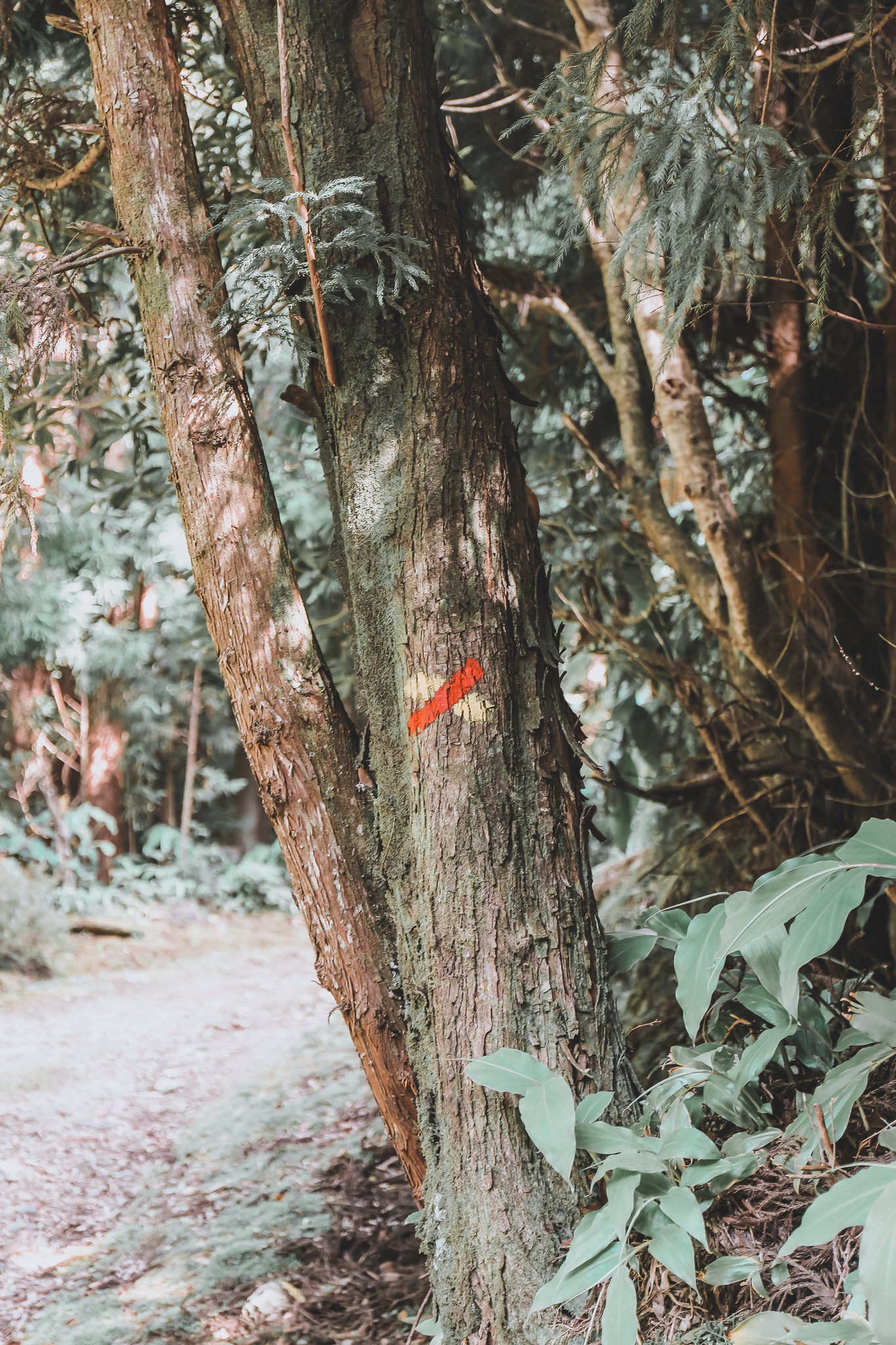
Don’t go this way 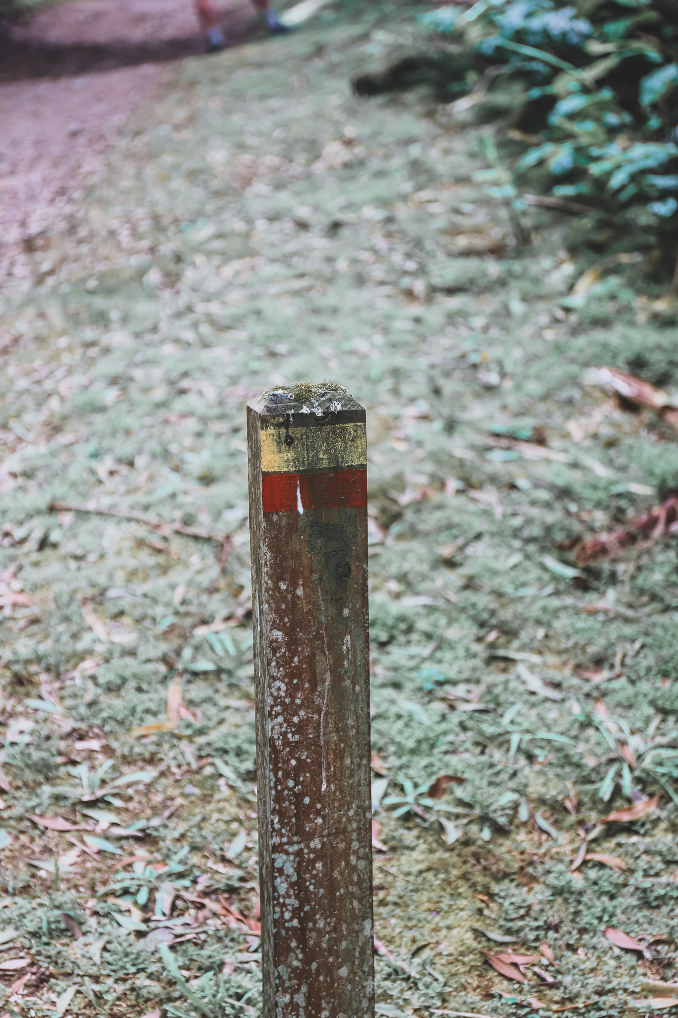
Go this way
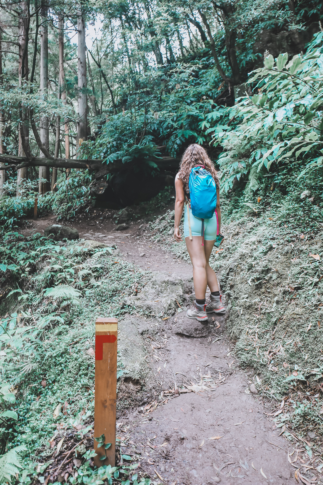
Turn right
ahead
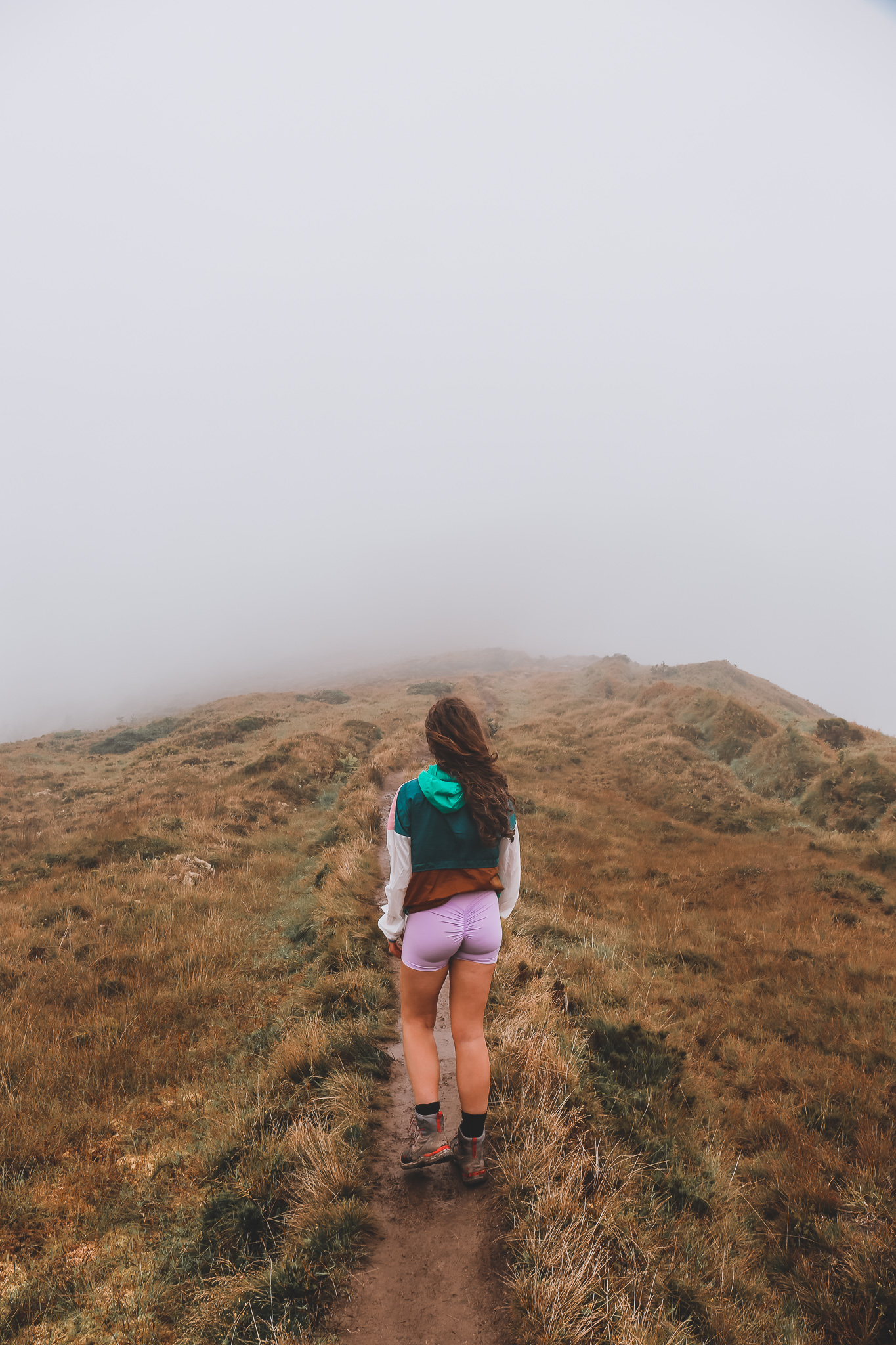
Pico da Vara
Starting point; Google maps “Pico da Vara- Trail Start”
Difficulty; Moderate
Length; 8km (4 up and 4 down)
Duration;2 hours
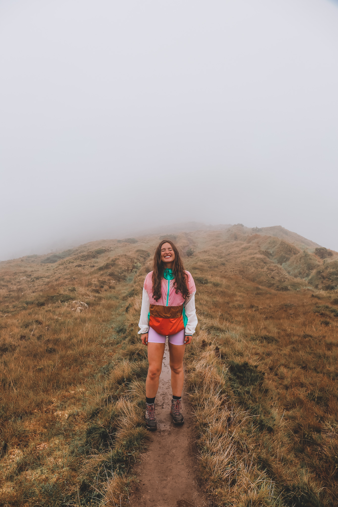
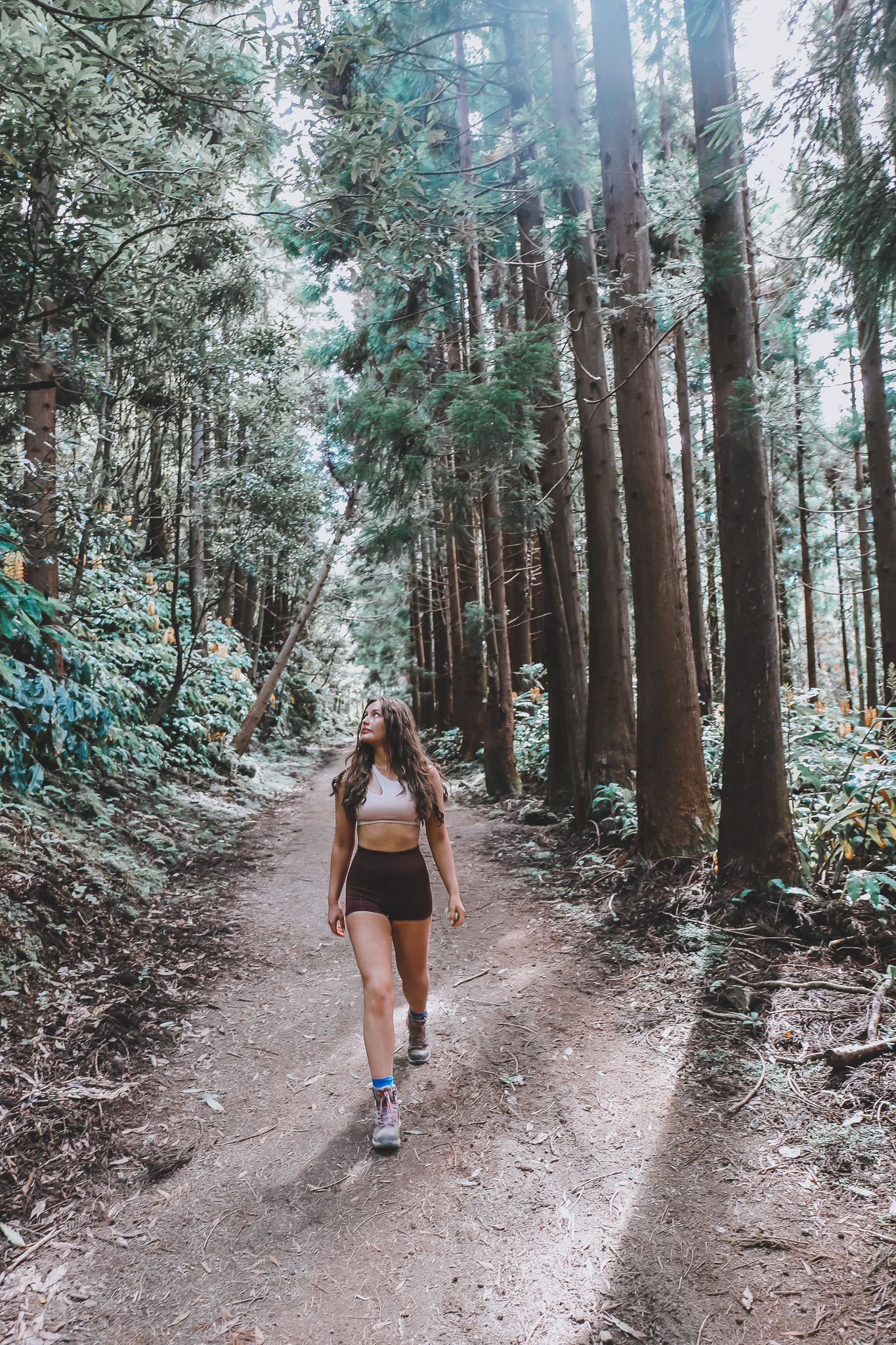
Let’s start with the one for the best views. Pico da Vara is the highest point on the Island of Sao Miguel at 1103m. On a clear day, you can see panoramic views of the Island. The hike is marked “hard” on lots of sites but in comparison to Irish trails it’s a moderate trek. You can park your car right up to where the path begins along the side of the road. The path changes from cedar wood steps to forest trails to mucky paths so be prepared in proper foot wear. There are markers all the way so you can’t get lost even on a cloudy day ( like us) the top is marked by a small monument where you can get great views and follow the same trail back down keeping an eye out for your yellow and red markers.
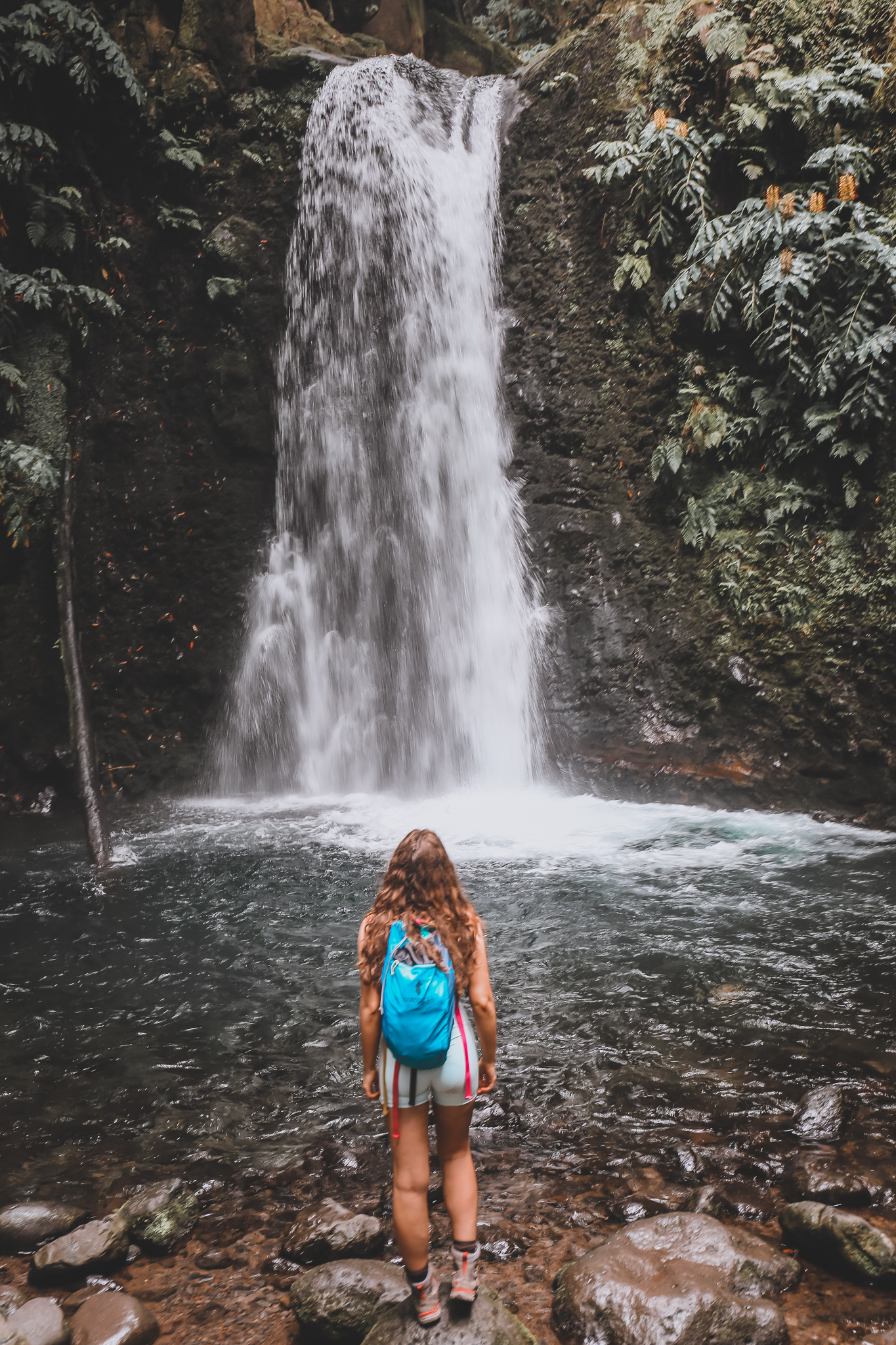
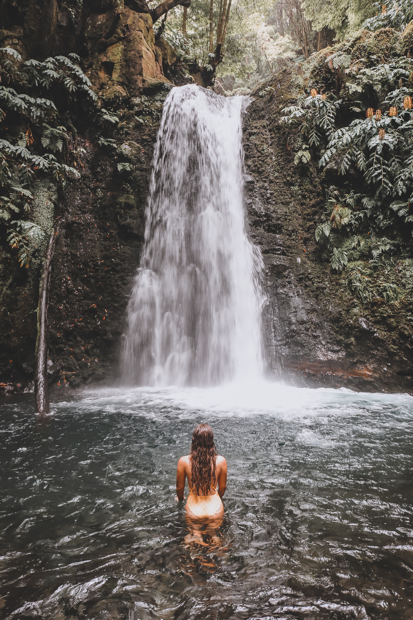
Faial da Terra to see Salto do Prego
Starting point; Google maps “Salto do Prego Trailhead
Difficulty; Easy
Length; 5km
Duration;1 hour 30 including stop at waterfall
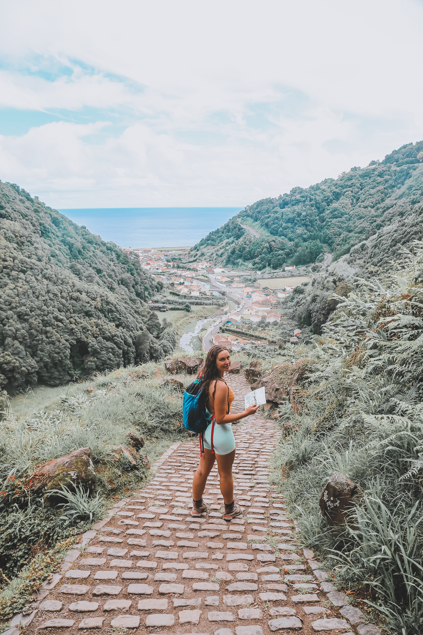
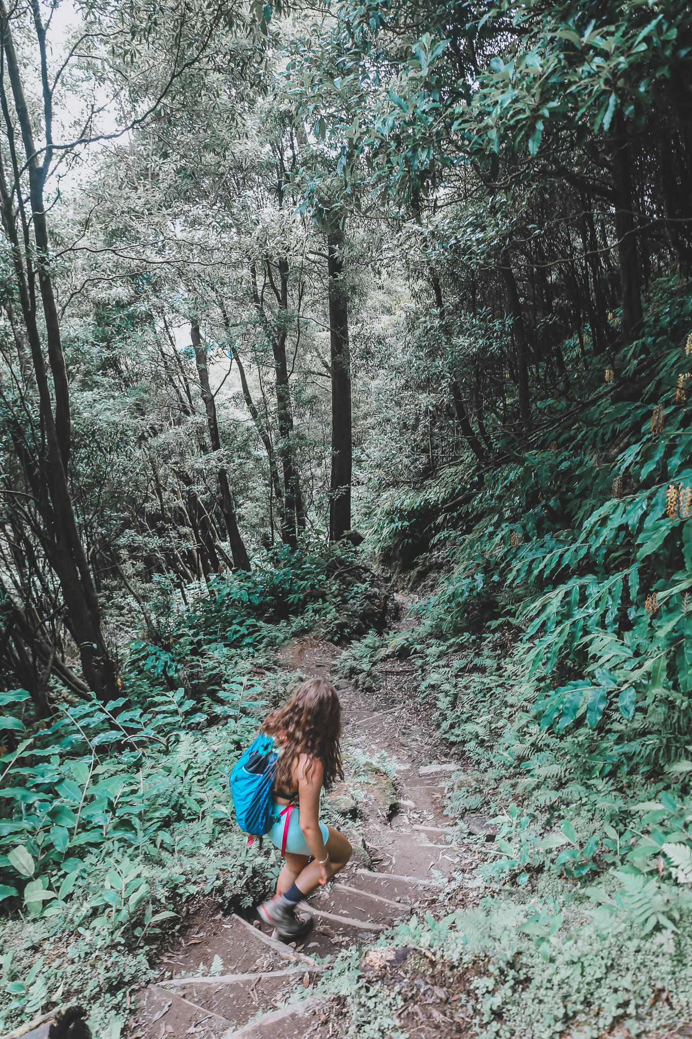
This was one of my favourite hikes rewarded by a dip in an epic water fall. The hike starts at the end of the town near a bus stop. Follow the signs marked yellow and red keeping straight at the start. You will keep on a mountain path up and down trails, keep following the signs for Salto do Prego (you turn right after about 2 km which is sign posted) before descending to the waterfall where you can swim. On route back you follow the same path up until you reach the “salto do prego” sign and a sign for “sanguinho” head towards Sanguina, a small old abandoned town which is being brought back to life it even has a little pub there, keep following the trail which will bring you back to where you parked.
Note; You can make this hike much longer by opting to keep walking until you reach “Salto do Cagarrao” which is sign posted.
Pico do Ferro
Starting point; “Lagoa das Furnas Hotsprings” or “Grena Park” carpark is just beside this.
Difficulty; Moderate
Length; 2km
Duration;1 hour 10 minutes
For natures stair master, this one is great for a quick hike that will certainly get a sweat up but reward you again with an epic view. Note; no markers on this short hike at starting point.
You park down by the lake and walk over to the left of the car park along the road there is a small cabin on the right in front of the lake and opposite is where you will find a small trail leading up into the forest (you can ask for directions off any of the staff who work on the lake they were more than helpful with us). You follow this path uphill for 30-40 minutes where you will reach the viewing point looking out over the lake. On the walk, you will go by corn fields, meet series of natural steps and feel really in the middle of nature!
This walk used to be a loop but unfortunately the other path has now been closed so you’ll must walk back down the way you came which is totally fine. Once back down spend some time around the lake and relax, you’ll see a huge church Chapel of Nossa Senhora das Vitórias across the water as well and a very cool pink house, driving back you should check them out.
Note;There is a walk around the lake but it is kind of boring so stick with this one.
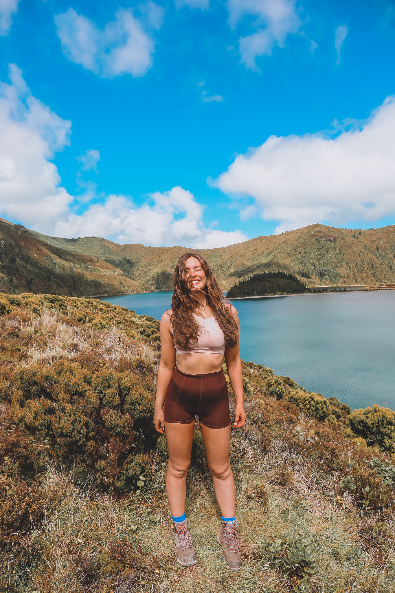
Lagoa do Fogo
Starting point; Google Map “Lagoa do Fogo Trail Head”.
Difficulty; Moderate- Hard
Length; 11km
Duration;3 hours
Firstly, this was my favourite hike for scenery and landscape, you go through so many different terrains.
The parking for this is in on a dirt road in the middle of farm land but there will be lots of people parked (unless you get there early). You follow the path, there’s only one obvious trail at the start and from there the markers are used to guide. The path starts steep for the first 2-3 km but it does ease off and flatten out. You go from dirt road to mountain trail to jungle trail to a gravel road, keeping an eye on the markers at every turn especially when you meet a large pipe and small cabin the route sign is hidden just around the corner. You pass a small water treatment facility near the top and come onto the lake. You can see at the other side people are in the lake but the side you’re at is a protected site so don’t get any notions of abseiling down for a dip. There is a small track to your right you can follow up to get different views of the lake but ultimately you will be returning the route you came.
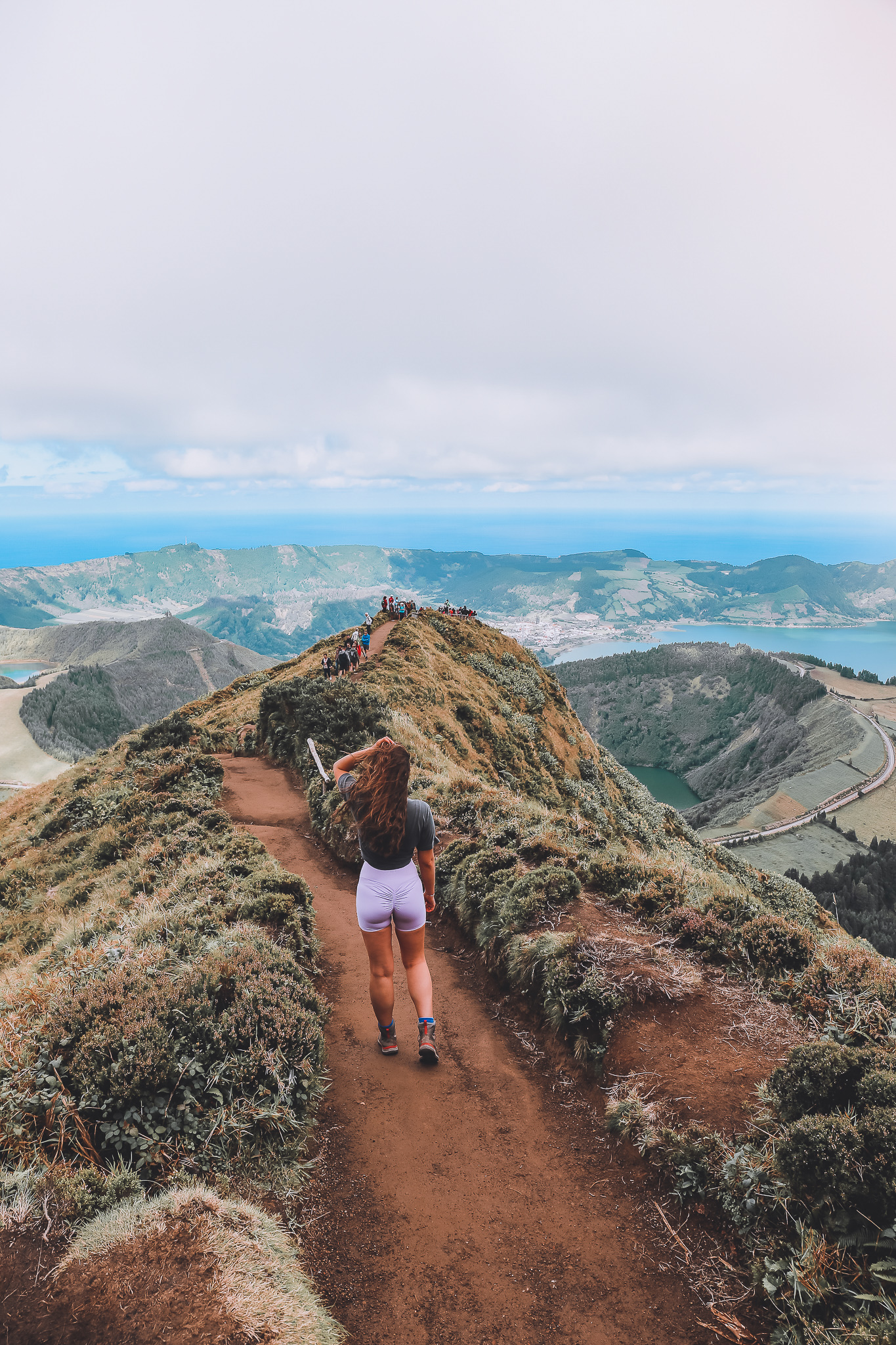
Mata do Canário – Sete Cidades
Starting point; Google Map parking lot near Lagoa do Canario ( about 700 m down the road)
End of hike; Town of Sete Cidades or loop back.
Difficulty; Moderate- Hard
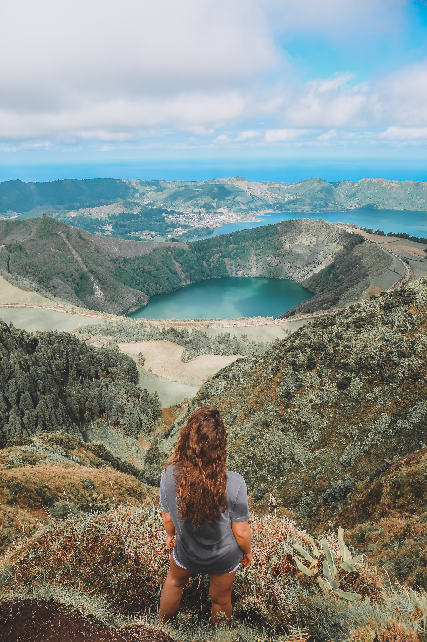
Length; 11km
Duration;3 hours
If you google must see places in Sao Miguel this viewpoint shows up. A popular tourist spot you can drive or hike to get a glimpse. This hike however is not circular so you’ll ether need to arrange a pick up at the end location or you can double up and walk this whole route back which would be clocking up some series km so I reckon the first is a better idea! You start the walk from where you parked with an initial steep climb don’t worry its pretty flat from here on out. You get to the first viewing point and begin to make a semi circle around the crater before your descent down to the town. Out of all the hikes this one is probably the most iconic.